20250817_Pelaw_beach.gpx
Distance: km
Elevation: + m,
- m

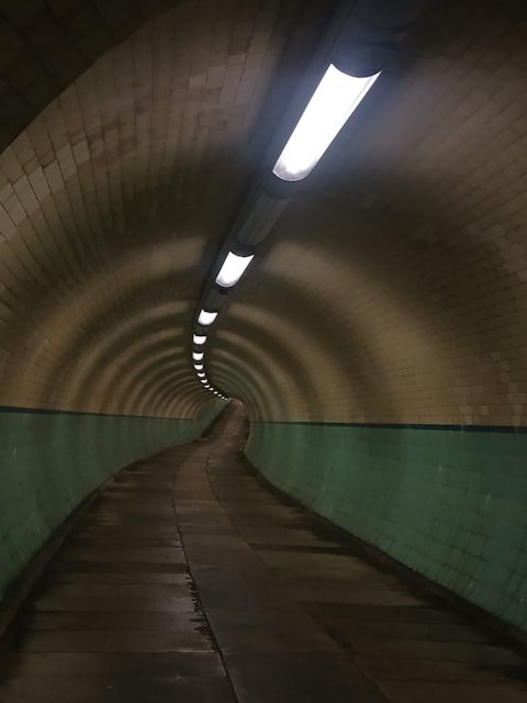
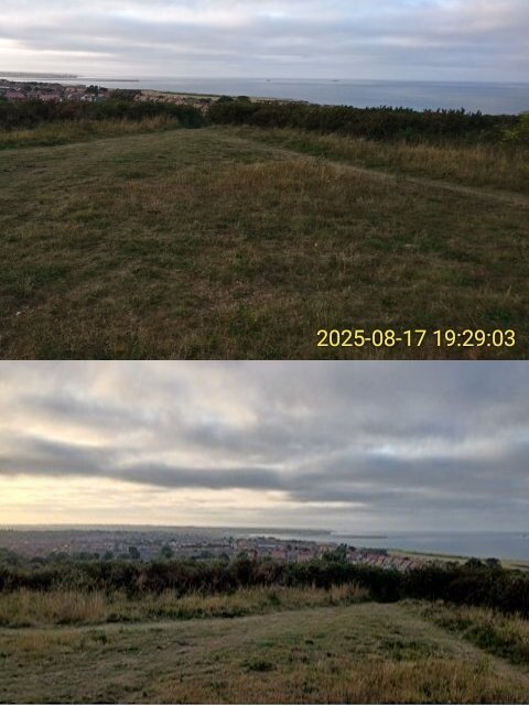
This loop has sections of high elevation point, a shore and a straight primary road on the way back. In the first midst of the route, there was a short digression to the underground tunnel crossing the Tyne river. It had wet scent and a chilly breeze. Comming backto the route, the highest point has a great view of tynemouth and shields beach. Climb on the way down was a rough briddle way.
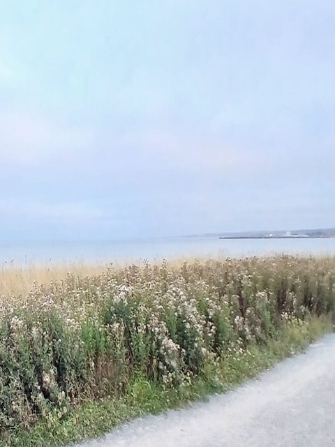
The route also goes through the Whiteburn beach, a peaceful place to do a quick dip! Since trip was started very late during second half of the day, it ended after sunset.